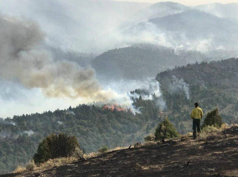
Date Started: August 4, 2018
Location: 15 miles southeast of Spanish Fork, UT
Cause: Lightning
Total acres: 29,912
Containment: 80%
Total Personnel: 209
AUGUST 28, 2018 – FIRE SUMMARY
Coal Hollow Fire remains at 29,912 acres and 80% contained. This will be the final daily update. News or information will be updated as necessary.
Yesterday, high southwest wind gusts produced more hotspots along the line in Division T, but fire crews were able to contain them with hand crews and bucket work. Humidity levels were higher during the evening allowing fuels to cool. Crews continued fire suppression and rehab of fire lines on the south side of the fire. Rehab is progressing along the east, north and northwest perimeter.
Today, no winds are expected, and relatively cool temperatures should aid in reducing heat, but fire risk could increase as warmer weather moves in after tomorrow.
The Northern Rockies Type 2 IMT will transfer command of the Coal Hollow Fire back to a local Type 3 Team. A Burned Area Emergency Response (BEAR) team will also mobilize to provide recommendations for damage stabilization. Some of those recommendations may include: Reseeding with ground cover or native species, mulching, and construction of natural dams in small tributaries to catch sediment on hill slopes are the primary stabilization techniques used.
CLOSURES
Open
Starvation Road, the southern and western areas adjacent to the fire, including Bear Ridge Road, Fish Creek Ridge Road and Skyline road south of the Bear Ridge Road junction are open.
Closed
North Fork Road is closed along the western fire edge and Skyline Road from Hwy 6 south to the Bear Ridge Road juncture. Road blocks are still in place at closure areas.

