Press Release
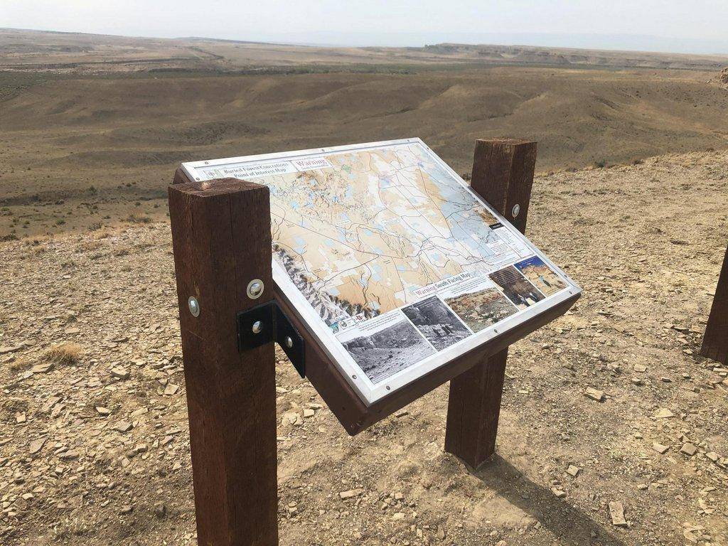
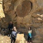
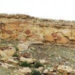
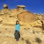
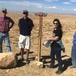
The Carbon County Trails Committee, along with others, celebrated the installation of informational kiosks and road signage to the Buried Forest Concretion Trail in the Mounds area east of Wellington last week. The one-mile long hiking trail leads to a unique geological feature where round concretions, which are common in the area, have sheared in the cliff face and have the appearance of the butt ends of petrified trees. Thousands of these concretions dot the landscape following the Ferron Sandstone Member of the Mancos Shale Formation for many miles.
The staging area for the hike is about a 25-minute drive from Price. To get there, you turn on a gravel road 2.4 miles east of the Sunnyside Junction on the south side of Highway 6, then follow the signs. The short, moderate hike is one mile in length with one semi-steep section.
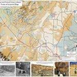
The Price Office of the Bureau of Land Management, which is the ministering agency of the land, has worked closely with the trails committee throughout this last year in developing signage and supplied much of material for this project. The Carbon County Advisory Tax Board also committed additional funds to help improve the signage. Carbon County is in the process of developing route information and photos, which will be available on both Google Maps and the county’s website within the next few weeks. State Institutional Trust Lands (SITLA) along with Emery County have also been involved in the project.
The Carbon County Trails Committee consists of local, voluntary representatives of both motorized and non-motorized interests along with county, state and federal officials. The committee meets monthly and discusses ways to improve trails and recreational opportunities in the area.
- Photos by Scott Wheeler

