In the late 1800s, the settlers of Emery County faced tremendous challenges as they arrived in the desolate, dry landscape. During the Emery County Historical Society meeting on Thursday, Roger Barton shed light on how Ferron Creek played a crucial role in the survival and success of these early settlers, creating the land that is now known as Ferron.
In 1873, Augustus D. Ferron, a government surveyor, arrived in what was then known as Castle Valley. He marked the valley, opening the region to homesteading. The town, the mountain and the creek were all later named after the surveyor.
According to reports, herds of cattle, sheep, and horses were recorded in the area shortly thereafter in 1874. However, they were only present during the grazing season.
On August 22, 1877, Brigham Young, President of the Latter-day Saints, sent a letter to the Stake President of Manti, requesting the relocation of 50 families to settle Emery County. The settlers traveled around the mountains and cut through Salina Canyon. It took them 21 days to arrive in Castle Valley, journeying as far north as the Huntington/Cleveland area. Several settlers later returned to the Ferron area, now known as Molen, due to its flat land.
The settlers began building ditches off Ferron Creek, but irrigation created swampy conditions. To improve their situation, they moved to higher elevations, which would later be known as Ferron, as the land there was more rocky.
On May 28, 1888, the Ferron Creek Irrigation Company was established, becoming the first organization to coordinate irrigation on Ferron Creek. After the runoff season, Ferron Creek would often run dry, leading the company to realize they needed to accumulate more water to farm the land effectively.
By 1897, the company had constructed the North, South, Bench, Molen, Peterson and Zwahlen ditches, using a whiskey bottle as a level and logs that they dragged back and forth until the land was level enough for a plow or scraper.
“It just amazes me with the few tools that they had, we couldn’t even think of doing anything without a backhoe or a track hoe, without loaders, without equipment. They did this by hand,” shared Barton. “I admire those people all so much for what they did.”
The Ferron Canal and Irrigation Company was then created in 1897 and remains operational today.
In their quest to accumulate more water, the company discovered a natural depression nearly 22 miles up Ferron Canyon. They later dammed it, creating the first watershed for the irrigation company known as Willow Lake. In 1890, construction began on the dam for Indian Creek Reservoir, now known as Ferron Reservoir.
The company also began constructing a road through Ferron Creek Gorge. In 1914, the irrigation company was granted 100 pounds of dynamite by the U.S. Forest Service to help blast through some of the rock in what is known as the narrows.
In 1927, a sawmill businessman named George Petty received a permit from the government to start Petty Resorts next to Ferron Reservoir. Petty built five cabins, with his son Dean later adding seven more. The lodge included a place to buy snacks, fishing gear or other forgotten essentials. Petty eventually became a boat builder, including boat rentals as part of the resort. It was in an agreement that Petty would pay the irrigation company $25 a year for that right.
U.S. President Franklin D. Roosevelt addressed the economic crisis of the Great Depression in 1933 by creating the Civilian Conservation Corps (CCC), a mission aimed at providing unemployed men with work, job skills and opportunities for self-improvement while conserving America’s natural resources.
The Ferron CCC camp began in April 1933, accomplishing several projects over the years, the most ambitious being the construction of an automobile road from the Old Mill in Ferron to Ferron Reservoir—nearly 24 miles with an elevation gain of almost 3,000 feet. This included building the infamous dugway of Ferron Mountain, which required the use of motorized bulldozers, horse-drawn scrapers and dynamite to create the mile-long dugway.
Duck Fork Reservoir was the next water storage built, followed many years later by Wrigley Springs Reservoir in 1957.
First mentioned on the agenda in 1936, Millsite Reservoir was planned out in 1965 as an 18,000-acre reservoir with a state park. Construction was completed in 1971. During this process, according to Barton, the U.S. Fish and Wildlife Service and the Fish and Game Department demanded that a significant amount of water be held for fish protection. The board of directors countered this offer by trading Duck Fork, Willow and Ferron Reservoir as fisheries in exchange for the 2,000 feet in Millsite.
The federal government initiated the Colorado River Basin Salinity Project in the 1990s. This program aimed to remove salts from the Colorado River and transition from flood irrigation to pressurized irrigation. This shift improved irrigation efficiency in Ferron from 28% to now 70%–90%, depending on the sprinkler system. The surrounding towns in Emery County, along with Carbon County followed suit in the pressurized irrigation.
“We are glad we are some of the first to try that,” shared Barton.
This project included 150 miles of main line pipe that was completed in 2003. That same year, Millsite Reservoir was dredged just 40 years after its construction, having accumulated nearly 70% of the sediment expected over a century.
Millsite’s dam was then reconstructed during the drought year, raising the height by four feet to restore the reservoir to its original 18,000-acre capacity. Additionally, the State Park was raised by six feet and improvements were made to the golf course.
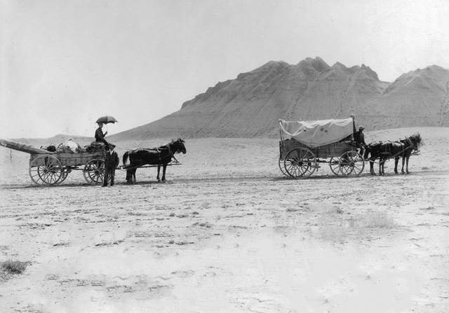
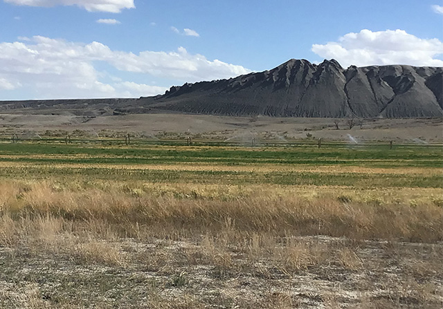
Barton concluded his presentation by showcasing an original photo of the Ferron settlers at the base of the clay hills on the south side of Ferron. He then compared it to a recent photo of the same field, highlighting the changes that have occurred over the years.
“This is what they started with,” expressed Barton when showcasing the original photo. “They put 10,000 acres under cultivation.”
Emery County Archives Director Suzanne Anderson announced that the records of the Ferron-Molen Irrigation Company, dating from 1886 to 1957, have now been digitalized. This project was made possible by a grant awarded to the Emery County Archives from the Utah State Historical Records Advisory Board (USHRAB) and the National Historical Publications and Records Commission, with additional funding from the Emery Water Conservancy District.
The digitized records include minutes, policies, procedures, names of stakeholders and descriptions of historical canals and ditches. To view the digitalized records, click here.
-
- Photo courtesy of Roger Barton dated in 1903 of the south end of Ferron

-
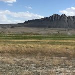
- Photo courtesy of Roger Barton dated in 2024 of the south end of Ferron
-
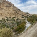
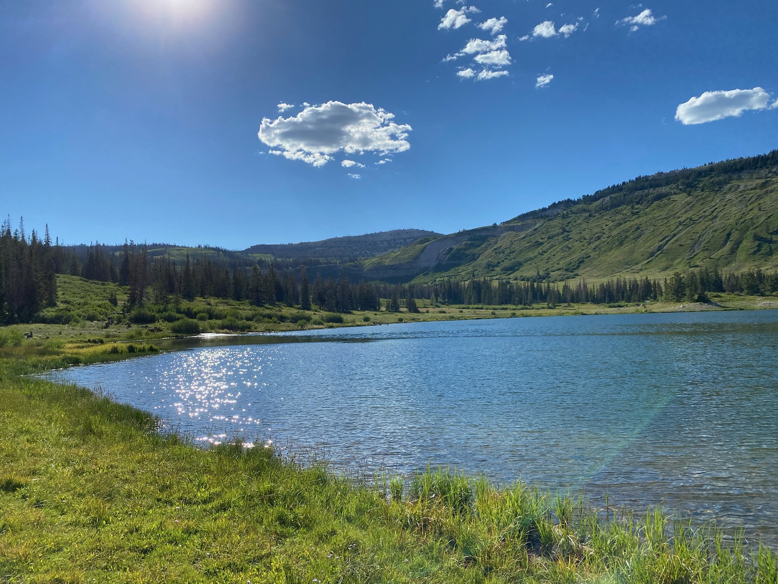
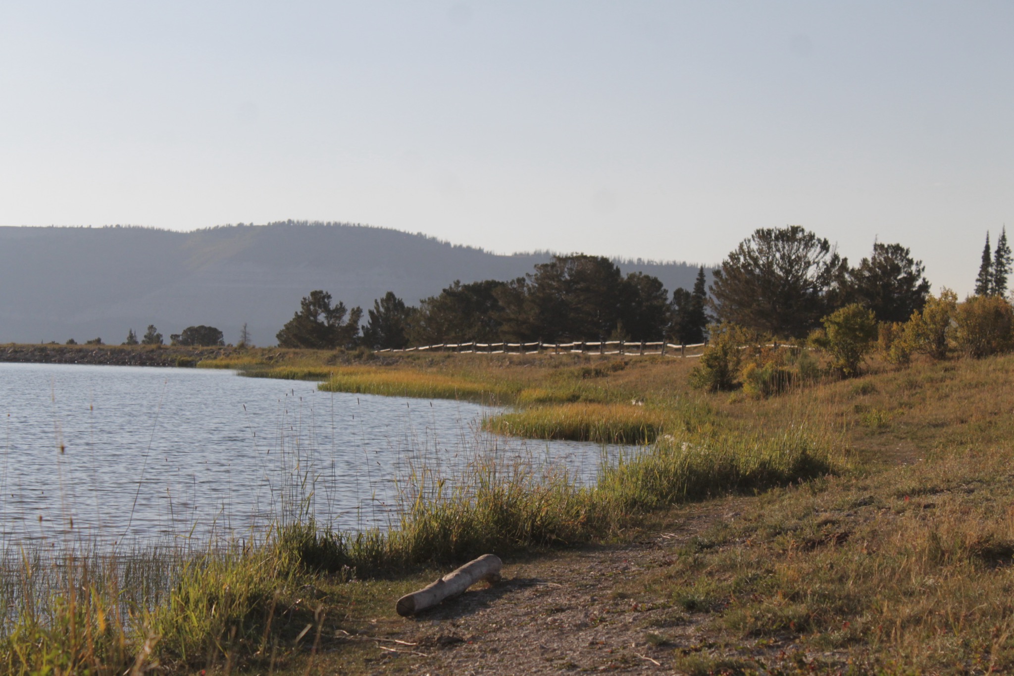
- Photo courtesy of Jamie Swank of Ferron Creek
-
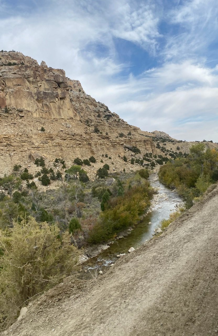
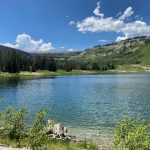
- Photo courtesy of Jamie Swank of Willow Lake
-
- Photo courtesy of Jamie Swank of Duck Fork Reservoir
-

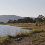
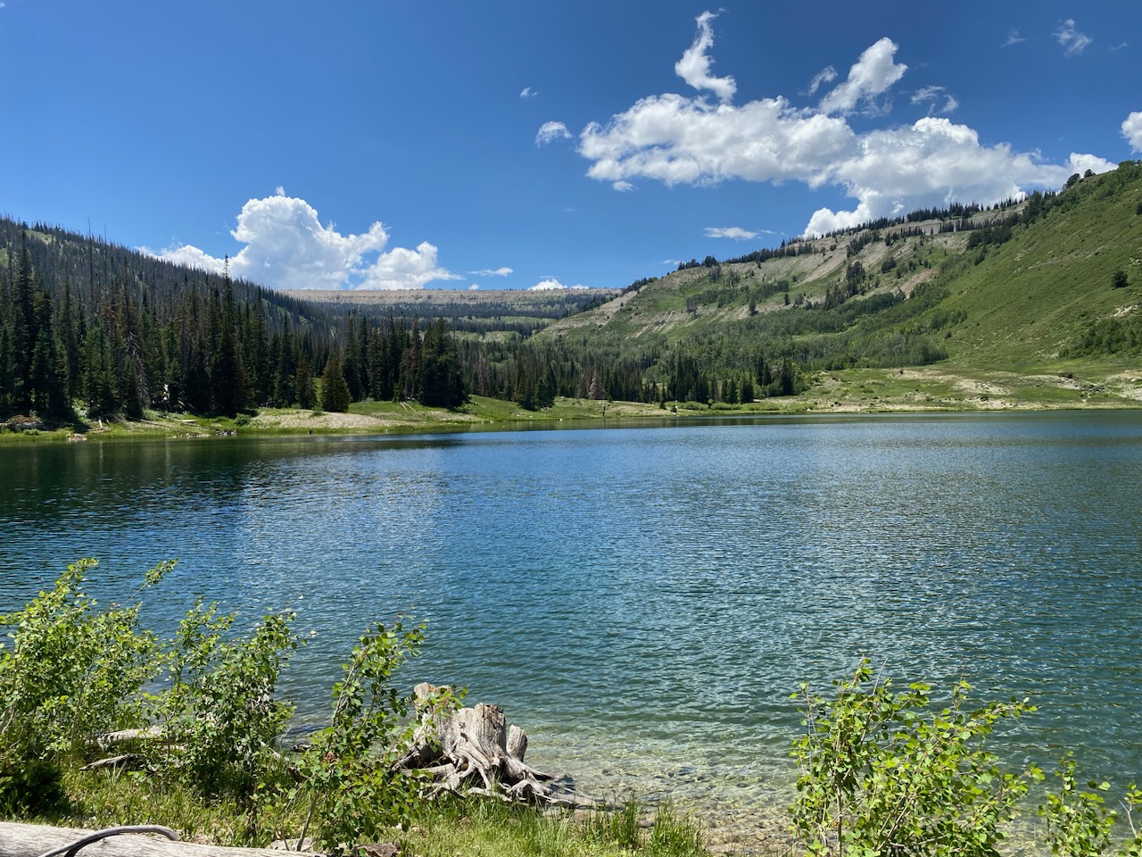
- Photo courtesy of Jamie Swank of Ferron Reservoir