By Julie Johansen
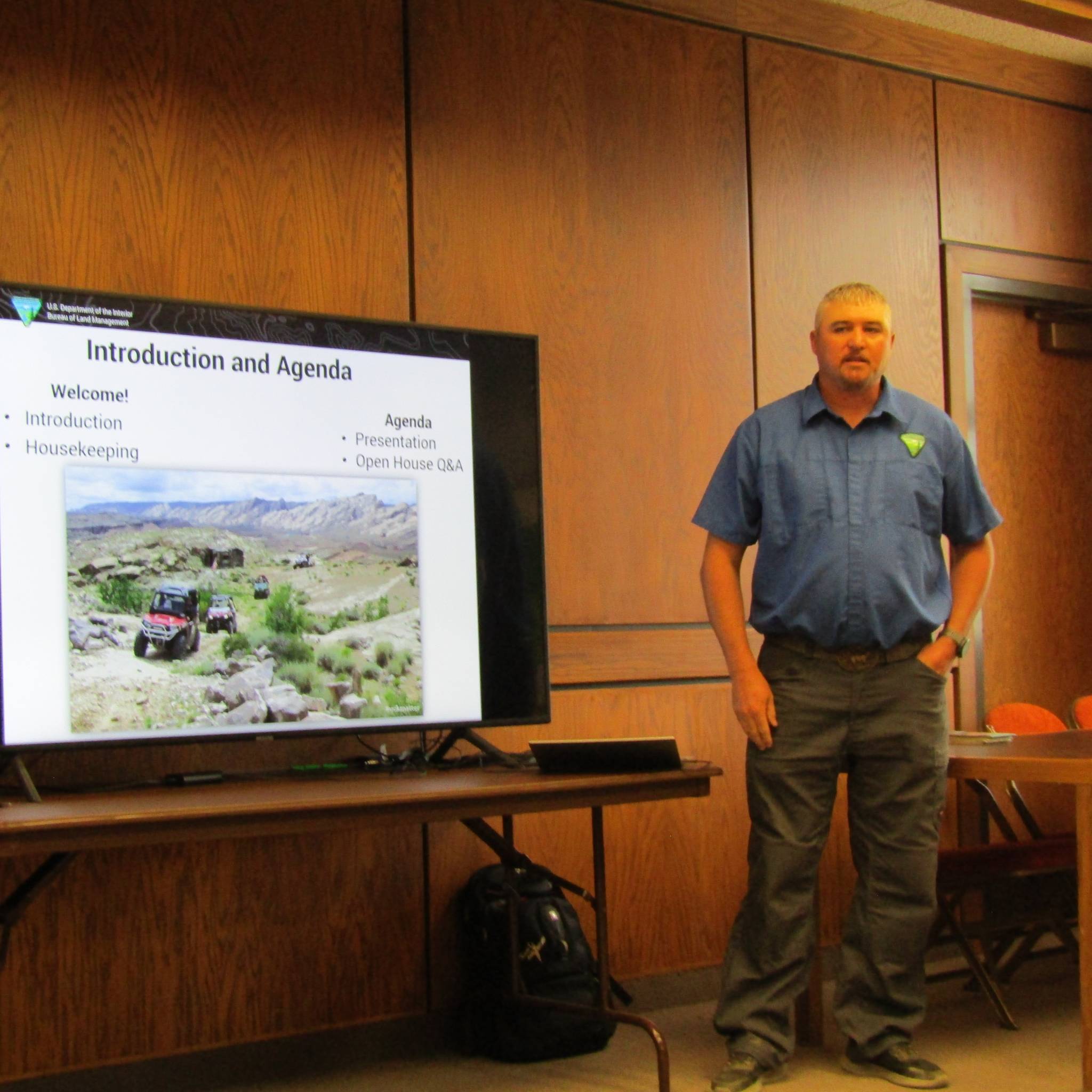
Jayden Mead, Project Manager from the Bureau of Land Management (BLM) Price Field Office, gave a screen presentation on the San Rafael Swell Draft Travel Management Plan on Wednesday, June 26 at the Emery County Administration Building in Castle Dale. Mead introduced the presentation by stating that The Travel Management Plan purpose is to clearly designate, inventory and evaluate routes as open, limited, or closed to public OHV use and adopt an updated, implemented plan.
The preliminary Environmental Assessment (EA) and the travel network alternatives had recently been released on June 6 of this year. The plan will designate nearly 2,200 miles of routes as open, limited, or closed for off road vehicles on more than 1.1 million acres of land in Emery County and 44,000 acres of public land in Sevier County.
He gave definitions to help clarify what OHV route titles mean, such as “OHV Off Highway”, which includes anything with a motor, even E-bikes. “OHV Open” is routes open for all motorized vehicles, and “OHV Closed” means closure of routes for all public use. Mead continued to explain that the Travel Plan is nothing new. The previous one was started in 2003 and finished in 2008. That plan was challenged by environmental groups, which lead to a court settlement nine years later, in 2017.
This led to starting all over again in this action. In the meantime, the Dingell Act (Emery County’s Public Land Bill) was passed by the national legislature. This legislation designated 14 wilderness areas, one San Rafael Swell recreation area, land exchanges and conveyances between BLM and Land Trust sections. The wilderness areas are not challenged, though the closures could happen in the recreation area.
This study began in 2021 with resource inventories and, in February 2024, everything was looked at again with adjustments made to release the draft plan. This plan now includes four alternatives: Alternative A, the current travel plan, with no changes. Alternative B has a resource protection emphasis but is more restrictive than A with 1,429 miles closed. Alternative C has a multiple use emphasis, an increase of 273 miles and 1,702 miles closed. Alternative D has an access emphasis and is most restrictive, with 2,107 miles closed and an increase of 678 miles. Each alternative looks at closing more miles of routes and trails.
The comment period is open until July 22 and comments are welcomed by the BLM. The comments need to be substantive, clear and route-specific. They also need to identify ways to make it better. Comments should not be just opinions, form letters, emotional stories, or unrelated topics or projects. Mead said each acceptable comment will be read and considered, even if thousands are submitted. Comments can be made to BLM National NEPA Register or emailed to BLM_ut_pr_comments@blm.gov or they can be hand delivered to the Price Field Office at 125 South 600 West.
Following Mead’s presentation, several BLM officers were in attendance to further discuss or answer questions from any individual or groups attending the meeting. This was the second of three meetings held this week for the same purpose of information and concerns from the public.

