Press Release
Today’s weather is expected to be very similar to yesterday’s: temperatures in the low 90s, relative humidity down to single digits and atmospheric instability are forecast. Winds will be lighter, although this may cause smoke inversions to linger in the canyons. As inversions lift, fire activity increases.
Travelers to State Route 6 should use extra caution, especially at the intersections of Highway 89 and the Dairy Fork Road where fire traffic will be heavy during the early morning and late evening hours. Please travel slowly and turn on lights for increased visibility.
As Great Basin Team 4 establishes fire camp, we want to thank the community for their hospitality. The influx in vehicles and traffic is causing some dirt roads to be very dusty. To create safer travel conditions, water tenders are spraying water on roadways. Firefighters do have all of their needs met in fire camp – including medical supplies, water, showers, and a caterer.
COMMUNITY MEETING: The Incident Management Team will hold a community meeting tonight, Thursday, August 9, at 7 PM, at North Sanpete High School in Mt. Pleasant, Utah. Fire officials and local land managers will provide information on the fires and answer questions from the public. For those unable to attend, the meeting will also be broadcast through Utah Fire Information on Facebook and Twitter.
COAL HOLLOW FIRE – https://inciweb.nwcg.gov/incident/6101/
Location: 11 air miles northeast of Price, Utah
| Start Date | Cause | Size | Containment | Crews | Engines | Helicopters | Total Personnel |
| 8/4 | Lightning | 17,208 acres | 0% | 3 | 9 | 3 | 147 |
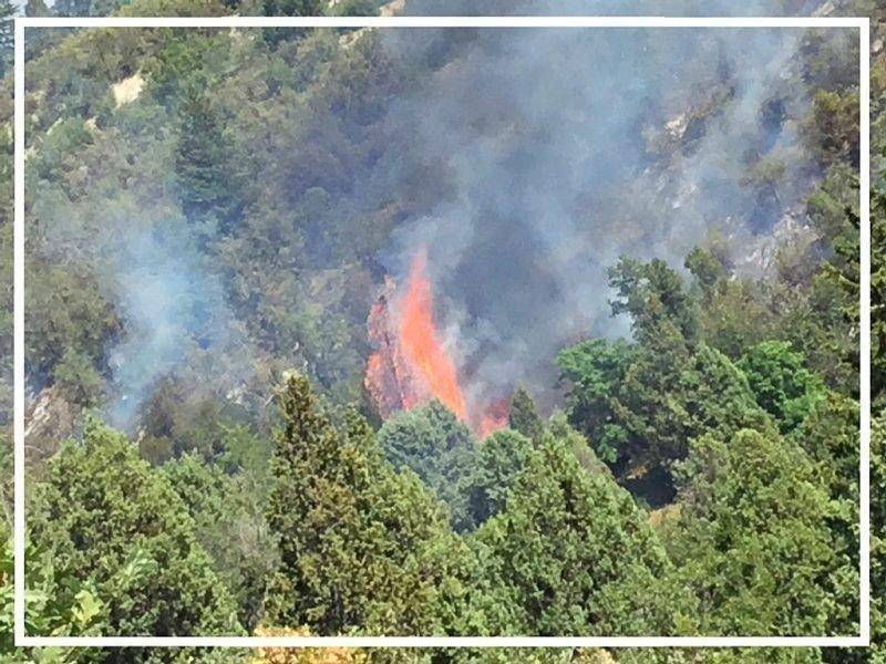
Current Situation: Extreme fire behavior yesterday was a result of the combination of weather conditions, dry fuels, and steep terrain. The fire burned past Skyline Drive, prompting new pre-evacuation and evacuation areas in Utah, Carbon, and Sanpete Counties. Search and rescue personnel are working to notify all affected residents and visitors. A map of the evacuation areas is found at https://inciweb.nwcg.gov/incident/maps/6101/. It is never too early to plan for evacuations. Visit https://www.ready.gov/ for information on what to take and how to plan if you and your family are impacted by fire evacuations.
Firefighters are prepared for a very active fire again today. In the northeast corner of the perimeter, they have established an anchor point to work from. They will steadily work to the east, along SR6, and to the south, towards Clear Creek Road, to achieve containment. Additionally, structures and critical infrastructure are being evaluated for defense by firefighters. This includes several points throughout the evacuated area as well as communities near Scofield, where pre-evacuation notices were issued last night.
HILL TOP FIRE – https://inciweb.nwcg.gov/incident/6110/
Location: 15 air miles north of Mt. Pleasant, Utah
| Start Date | Cause | Size | Containment | Crews | Engines | Helicopters | Total Personnel |
| 8/6 | Human | 1,838 acres | 12% | 3 | 17 | 1 | 168 |
Current Situation: Yesterday’s fire activity on the Hill Top Fire was limited to interior pockets of timber. The fire perimeter did not grow. Firefighters have been able to fully secure the line on the western edge. Today, they will continue to work around the edge to increase containment. As containment increases, resources will be redirected to the Coal Hollow Fire. Evacuations have not changed since Milburn was reopened yesterday afternoon, but the Sanpete County Sheriff and Great Basin Team 4 are working together to return residents to their homes as soon as it is safe to do so.

