By Ray Petersen
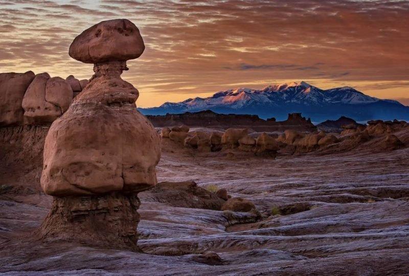
Goblin Valley State Park Expansion
The expansion of Goblin Valley State Park was an idea that was born and developed as part of Congressman Rob Bishop’s Public Lands Initiative (PLI). Utah State Parks and Recreation personnel were asked if there were any areas that would make sense to expand current parks or create new ones. Several ideas were proposed, but the GV idea was one that emerged as sensible and implementable, although it took several forms and sizes before being refined into the proposal contained in HR 5727.
The geographic presence of State Parks in its current location made the idea of expanding the park to include management of surrounding areas where additional camping facilities and on-the-ground presence is sorely needed a simple decision. Timely education, information dissemination, enforcement and search and rescue coordination are some of the benefits of State Parks management.
The expansion would be accomplished by the Recreation and Public Purpose process similar to the other conveyances to the County and Emery City.
(a) In General.—At the request of the State, the Secretary shall offer to enter into a recreation and public purposes agreement with the Utah Division of Parks and Recreation of the Utah Department of Natural Resources (referred to in this section as the “State”), that provides for the management by the State of the land identified on the Map as the “Goblin Valley State Park Expansion” as a State park in accordance with State law.
(b) Reversionary Clause Required.—An agreement entered into under subsection (a) shall include a reversionary clause to ensure that management of the land described in that subsection shall revert to the Secretary if the land is no longer being managed as a State park.
Jurassic National Monument
Cleveland / Lloyd Dinosaur Quarry will become a congressionally designated National Monument under HR5727. (Distinct from a presidentially designated monument by use of the Antiquities Act.) The notoriety that accompanies National Monument status is intended to enhance interest and visitation to the site.
The boundary of the 2500 acre monument was proposed by local grazing permittees who determined this area will not impact grazing in the existing allotments.
(a) Purposes.—To conserve, interpret, and enhance for the benefit of present and future generations the paleontological, scientific, educational, and recreational resources of the area and subject to valid existing rights, there is established in the County a national monument, to be known as the “Jurassic National Monument” (referred to in this section as the “Monument”), consisting of approximately 2,543 acres of Federal land in the County, as generally depicted on the Map.
Public Purpose Conveyances
HR 5727 identifies four areas which may be conveyed as Recreation and Public Purpose (R&PP) conveyances. As the title states, the areas would be used for recreational or other activities which directly benefit the public. Currently, Emery County manages a landfill, shooting range, Little Bear campground and Huntington Airport under the R&PP arrangement. Three areas would be conveyed to the Emery County to provide for a Sheriff’s substation, expansion of the Huntington Airport, and the information center at Buckhorn Well. The fourth area would accommodate an OHV staging and play area west of town, outside the city limits.
(a) In General.—Notwithstanding the land use planning requirement of sections 202 and 203 of the Federal Land Policy and Management Act of 1976 (43 U.S.C. 1712, 1713), on request by the applicable local governmental entity, the Secretary shall convey without consideration the following parcels of public land to be used for public purposes:
(1) The approximately 640 acres of land comprising the Emery City Recreation Area.
(2) The approximately 1,400 acres of land comprising the Huntington Airport.
(3) The approximately 640 acres of land comprising the State Road 6 Emery County Sheriff’s Office substation site.
(4) The approximately 65 acres of land comprising the Buckhorn Information Center.