
By Kristi Maxwell
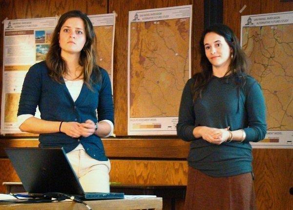
On Tuesday, Utah State University graduate students Carly Klein and Stephanie Tomlin gave a presentation regarding how the San Rafael region will develop in the future.
The objective is to develop visions for the future of the San Rafael River Basin through a comprehensive analysis of the region, including an evaluation of important components within the region and identifying suitable locations for land use and activities.
Klein and Tomlin, along with Professor Richard E. Toth and Assistant Professor-BioRegional Planning Barty Warren-Kretzschmar, performed a pre-analysis of the area and then a regional analysis. They made assessment models and showed land use allocation.
For the regional analysis, they investigated geology, climate, soils, water, wildlife, vegetation, culture and land status.
The team developed a set of maps that includes assessment models, land use models and allocation models. Each map is divided into three tiers. Tier 1 is the most valuable and important land for specific use. Tier 2 is one step out and includes tier 1 and shows land that is less desirable. Tier 3, which includes tiers 1 and 2, is every other land that could be of use.
They explained that economical development cannot happen without change and commerce but understand that transitions are always difficult.
The team encouraged feedback from the citizens present at the meeting and asked that they identify the most valuable areas to them on the maps.
The group felt that it was an extremely production session and will be reviewing their maps and discussing how to incorporate the feedback that was received.