By Julie Johansen
The topic of the Emery County Public Lands meeting on Tuesday April 2 may seem like a broken record to those that have been working with public lands for years. Said topic that has surfaced once again is the Bureau of Land Management’s (BLM) Travel Management Plan. This is dealing with road (route) closures on the San Rafael Swell.
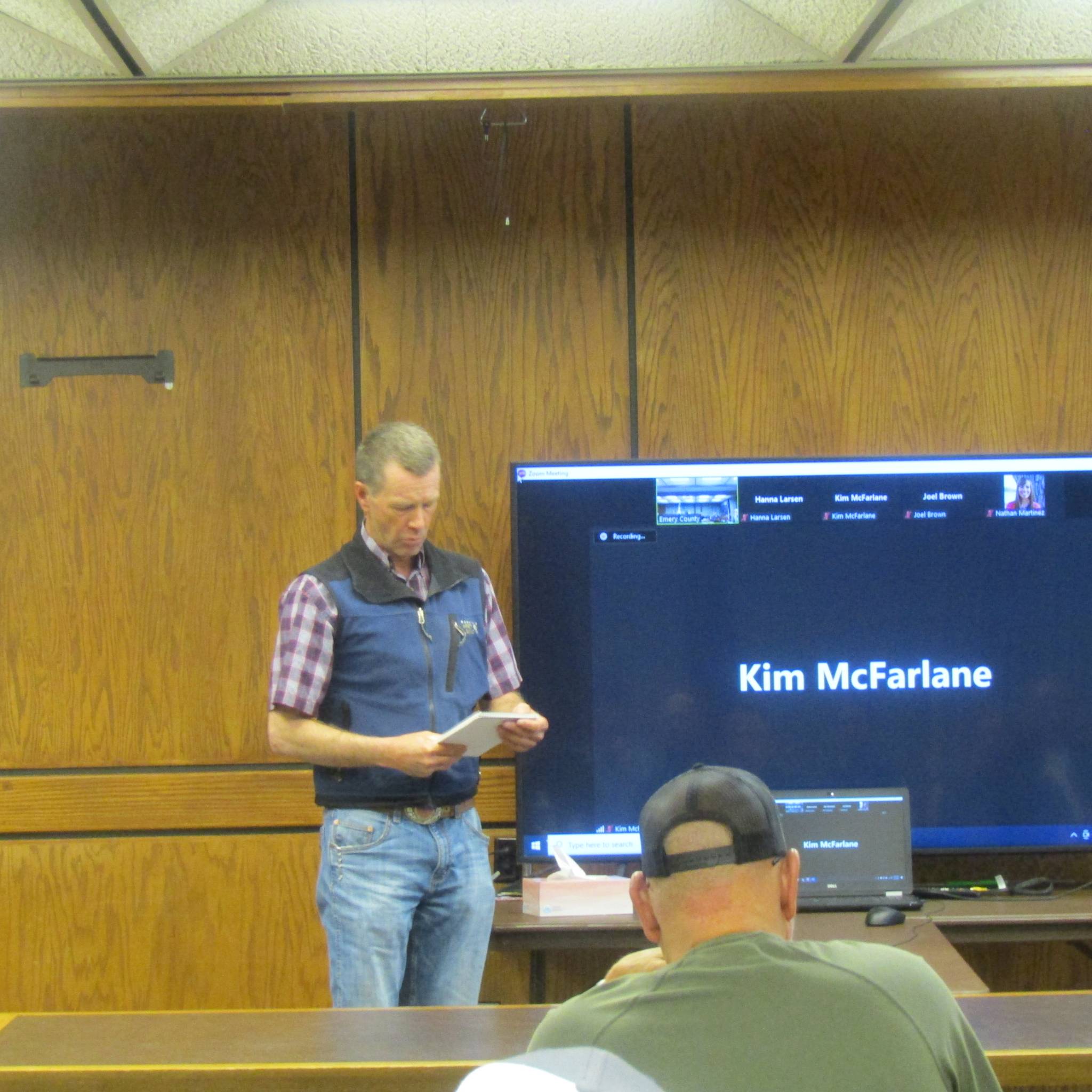
Zoning Administrator Jim Jennings was asked to report on some of his findings with regard to the plan to the council and attendees at the meeting. He then asked Jaydon Mead from the BLM to explain the alternative plans the BLM is considering. Plan A would be no action, but status quo with regard to road closures. Plan B, Resource Protection Plan, would prioritize routes that could be damaged by travel approximately 215 miles. Plan C has a multiple use emphasis and would respond to public wants such as campsites, 200+ miles. Plan D would have access emphasis, 600 miles, inventoried but not maintained.
The public comment period will begin about the end of May, 2024, and all comments will be reviewed, categorized and considered. Everyone is encouraged to study and comment.
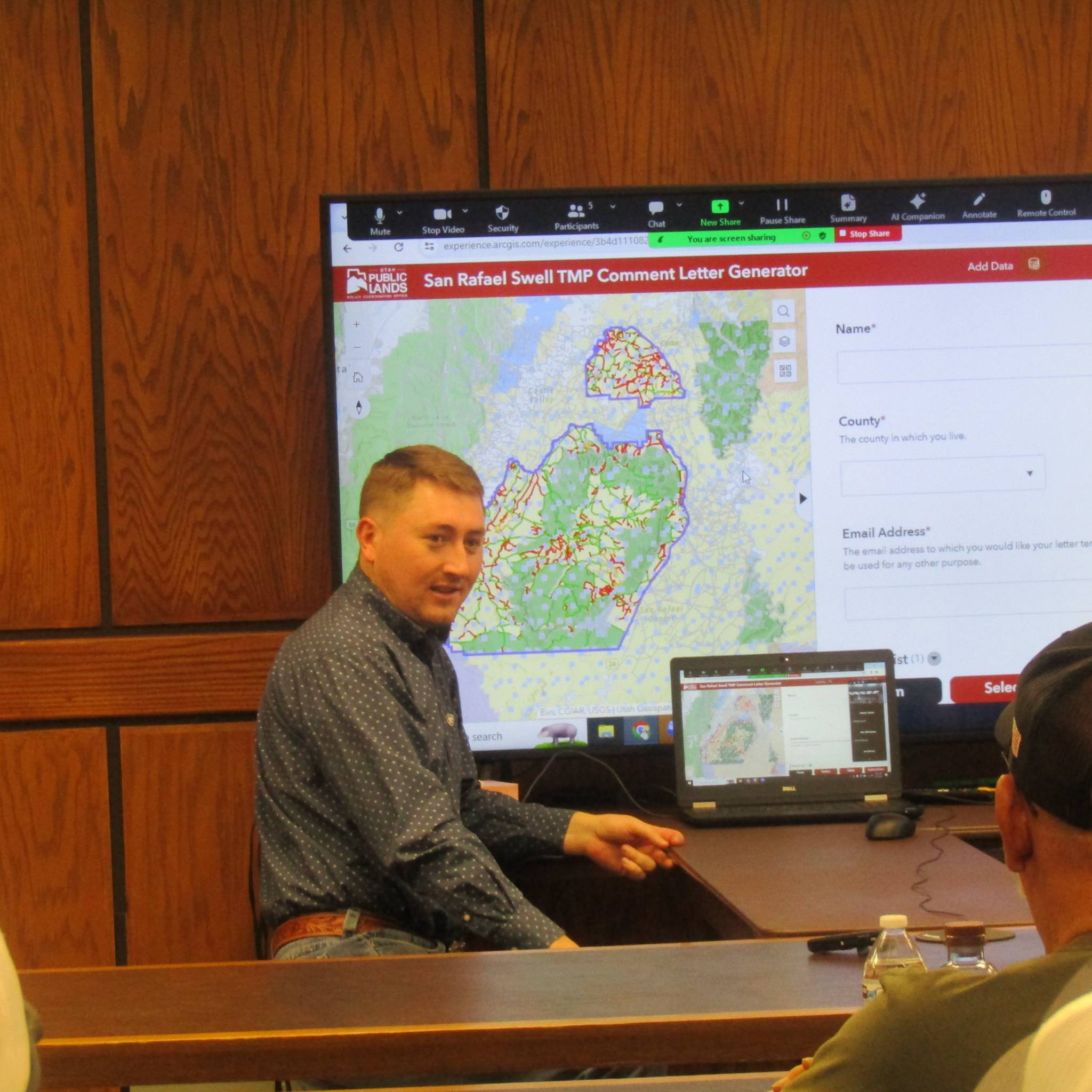
Clay Crozier from the Public Lands Policy Coordinating Office (PLPCO), then demonstrated how to access their website with maps showing each of the proposed plans and even a way to make a comment and send it to the BLM. Everyone was encouraged to become acquainted with this and make comments.
Ray Peterson, former Public Lands Administrator and now Public Lands Council member, emphasized the importance of justifying the roads on the Swell by reviewing the history and all Emery County has done over the years to keep access to the areas in our backyard.
Kyle Beagley of the BLM explained that different lands have different land designations; lands acres on BLM are different from land acres on the Forest Service because of the topography, plant growth and moisture. He spoke about routes in Nine Mile that are being worked on, the lease with Ferron City at Millsite that is progressing and changes coming to Jurassic National Monument (dinosaur quarry).
Department of Oil Gas and Mining’s (DOGM), Bart Kettle announced they are working on a Class VI Primacy well permit in collaboration with the Carbon Emery Economic Group’s request. He also said that house bill 295 gives new directions for water that comes from oil and gas wells. DOGM will maintain recycling ponds to deal with waste management. DOGM has received a permit request from the Cottonwood-Wilberg Mine.
Trust Lands’ Bryan Torgerson reported that the appraisals for the land exchanges from the Dingell Act are taking much longer than expected, but hopes to be finished by late summer. A permit was received by Trust Lands for a coal mine operation for Bronco Mine, on Walker Flat. A road easement on Oil Rig Hill is being sought by Hornshadow Solar Company.
Forest Service Ranger Darren Olsen announced that work on the Little Creek Bike Trail west of Joes Valley Reservoir is beginning, but waiting on a plant survey. The South Ferron Mountain road is also going to be redone this year. Logging in Reeder Canyon will continue this summer. Range improvements are being organized, as well as sage grouse and eagle surveys. Wildlife gates will be opened on April 15, though some other gate openings are dependent upon the weather.
Division of State Parks spoke online about the tiny houses that are being added to the Green River State Park. He also said that the Green River Golf Course is already busy. Outdoor Recreation spokesman spoke of attending the Watermelon Crawl in Green River as law enforcement and how well it was received with great organization. He also had spent five days on the desert, driving over 500 miles over Easter weekend. He spoke of the coordination of law enforcement from the different government agencies and the efficiency it creates.
Crozier mentioned that they are working on methane control, oil and gas operations’ closings, and questions about solar projects.