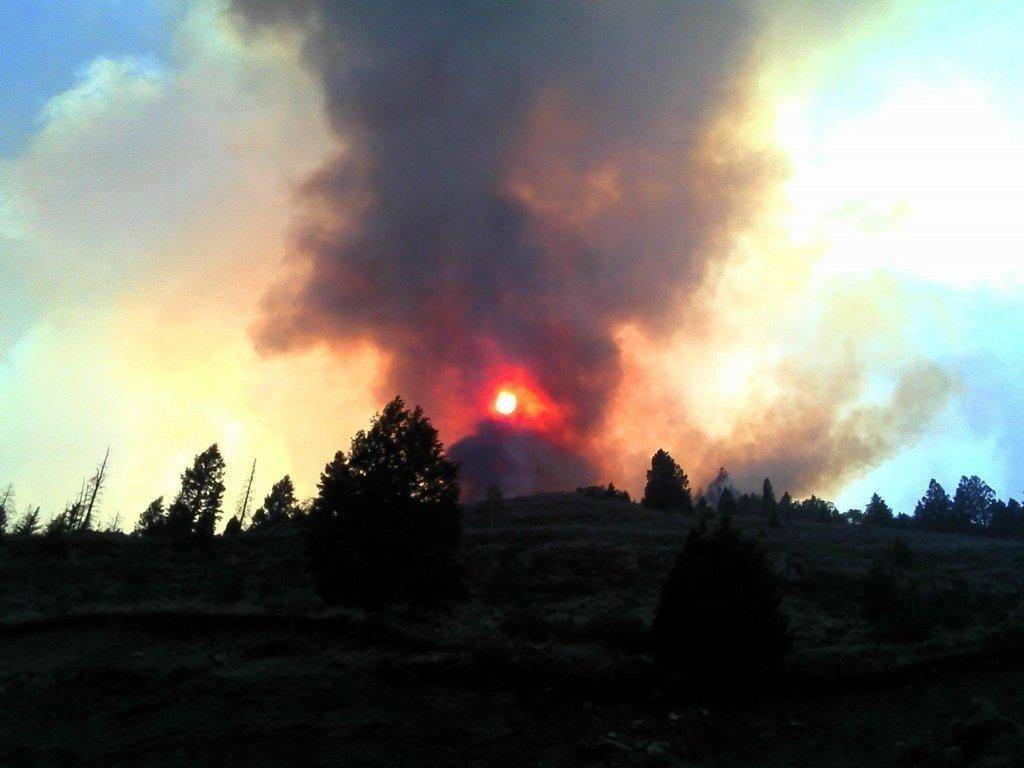
Wondering where all of the ash and smoke is coming from? Three separate fires are currently wreaking havoc in the surrounding mountains of Carbon and Emery Counties.
Church Camp Fire:
Location: Approximately 22 miles south of Duschene Utah and east of HWY 191.
Acres Burned: 4,000 estimated
Cause: Under Investigation
Structures Destroyed: 12 estimated
Evacuation Areas: 6 miles east of HWY 191 along the Argyle Canyon Road and 4 miles north and 4 miles south of the Argyle Canyon Road.
Crews Dispatched: 100 firefighters, 4 single air tankers, 8 engines, 2 water tenders, 2 bulldozers, DC 10 very large air tanker (VLAT)
A Type 2 Incident Management Team has been ordered and should be in place this evening.
Other Information: В The DC-10 VLAT has never been used in the state of Utah before now. Normally based out of Victorville Airport in CA, the DC-10 VLAT is a commercial air plane outfitted to carry water or retardant for wildfires. В It carries so much water, few places can reload it with either water or retardant. The DC-10 VLAT can carry 11,000 gallons in comparison to a regular air tanker that can carry only about 2,200 gallons. В It will be refueled and reloaded in Boise, ID. В The DC-10 VLAT also requires a specially trained lead plane that flies with it to lead it into areas that are on fire.
Seeley Fire:
Location: Manti-La Sal National Forest on Seeley MountainВ between the Left Fork of Huntington Canyon and Horse Canyon
Acres Burned: 9000
Cause: Lightning
Evacuation Areas: Clear Creek, Hiawatha, Wattis, Scofield, Gentry Mountain, North Skyline Drive, and north Miller’s Flat area.В SR 96 has also been closed from the junction of Highway 6 to Scofield.
Crews Dispatched: One helicopter, 12В crew members, 12 smokejumpers, and two engines with another crew en route to the site.
Other Information: A group of 100 girls were evacuated from a church camp near Miller’s Flat Reservoir as a precaution and have been relocated at the Fairview LDS Stake Center in Fairview, UT. Crews salvaged artifacts from the 1930’s era Historic Stuart Guard Station, which serves as a museum and information center in the canyon. As of 10 p.m. Tuesday night, the station had not been damaged.
Wood Hollow Fire:
Location: One mile south of Fountain Green. Click here for a perimeter map.
Acres Burned: 46,190
Cause: Human
Structures Destroyed: Assessment continues
Evacuation Areas: Indian Ridge, Elk Ridge, Big Hollow, Oaker Hills, and Fairview communities, HWY 89 closed near fire area.
Crews Dispatched: 9 handcrews, 2 helicopters, 32 engines, 3 dozers, 5 water tenders, 82 overhead (690 personnel)
Other Information: 1 confirmed civilian fatality. Red Cross Emergency center has been established at North Sanpete High School. Red Cross Shelter questions or donation information to assist those affected by the fire, call 801 323-7000. For lost or found animals seperated by the Wood Hollow fire contact (801) 812-2093 or (801) 372-0483 Contact: Dorothy Harvey (PIO) – (775) 635-3781
Check back often for more updates.

