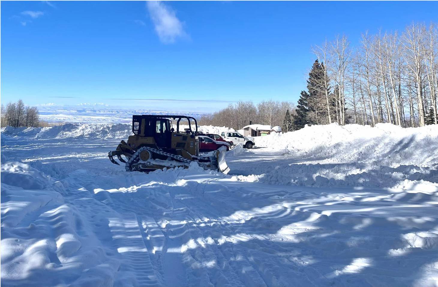
Plowing snow to open the Geyser Pass parking area. Forest Service image by Brian Murdock.
The snowpack in Utah has been impressive this winter, which is great news considering that the state has experienced drought conditions for some time now. In the Manti-La Sal monthly newsletter, snowpack was highlighted for the Beehive State.
It was stated that the snowfall has reached record levels for several months. The upswing in powder is due to the shift in jet stream that has been pushing storms to the region rather than moving them further north or east, as in previous years.
A special report of the Natural Resource Conservation Service-Utah Snow Survey, which was published in mid-January, showed that Utah is on its way to breaking a snow record. Statewide, the snow water equivalent (SWE) for Utah is 195% of normal. The only years on record that have had more snow on this date were in 1984, 1997 and 2005, making this the best winter that Utah has had in nearly 20 years.
There are still 76 days to go until the state’s typical peak snowpack in early April. The normal peak snowpack level on an average year has already been surpassed and the current statewide SWE is roughly 101% of the normal peak SWE. This means that Utah is guaranteed an above-average snowpack season.
From this time until the onset of melting, each additional amount of snow that is received will push the state farther above. Every major basin in Utah is currently greater than 160% of normal SWE, except the Raft watershed in northwest Utah. Nine of the basins are greater than 200% of normal.
With this in mind, the Manti-La Sal cautions those that wish to explore to be aware of avalanche dangers. They can be caused by people, new snow and wind, and movement at speeds of 60 to 80 miles per hour. Avalanches typically occur between December and March.

