BLM News Release
PRICE, Utah — Today, the Bureau of Land Management released the preliminary environmental assessment and travel network alternatives for the San Rafael Swell Travel Management Plan in southeastern Utah.
When finalized, the plan will designate nearly 2,200 miles of routes as open, limited, or closed for off-road vehicles on more than 1.1 million acres of public land in Emery County and approximately 44,000 acres of public land in Sevier County.
“This travel management plan aims to address the diverse needs of our communities,” said Acting Green River District Manager Lisa Everett-Stringer. “With robust public involvement, we can ensure responsible and sustainable land use in the San Rafael Swell area.”
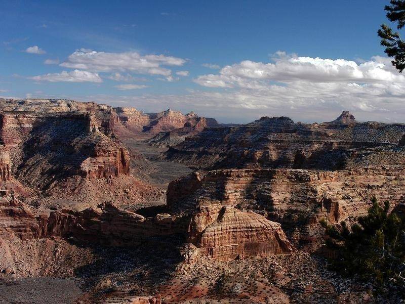
Nestled in the heart of Utah, the San Rafael Swell Recreation Area draws visitors with its mesmerizing blend of rugged beauty and outdoor adventure. This expansive and diverse landscape, characterized by towering red rock formations, slot canyons, and expansive desert vistas, serves as a destination for many diverse outdoor enthusiasts.
The public input period will close July 22, 2024. Substantive comments may be submitted through the “Participate Now” option at the BLM National NEPA Register (preferred), emailed to blm_ut_pr_comments@blm.gov, or delivered to the BLM Price Field Office, 125 South 600 West, Price, UT 84501. Additional information, including planning documents and maps with proposed route designations, are available at the BLM National NEPA Register.
The BLM plans to host three public meetings to discuss the travel management area, planning process, proposed alternatives, and how to provide written comments. Meetings are scheduled for:
- June 25 from 6-8 p.m. at the John Wesley Powell River History Museum in Green River, Utah
- June 26 from 6-8 p.m. at the Emery County Public Lands Office in Castle Dale, Utah
- June 27 from 4-5 p.m., via Zoom, registration link.

